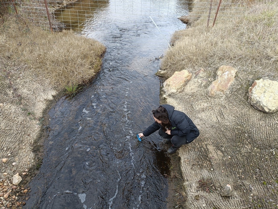
Weddin Landcare has partnered with the Department of Climate Change Energy Environment and Water to undertake a water quality project to monitor the salinity in the Bland and Tyagong catchment areas and build capacity in hydrogeological landscape mapping (HGL).

“Salinity is a problem when we have too much water moving around our farms. If we have a landscape where most of the rainfall is being utilized by plants, then we’ll have very little water going through to the groundwater. When we change that to vegetation that doesn’t use as much water annually, then the water will go through to the water table and start moving around in the landscape where it comes into contact with salt. It will then bring that salt to the surface.” Andrew Woolridge, Salinity Technical Officer at the Department of Climate Change Energy Environment and Water said.
An increased understanding of HGL will enable Weddin Landcare’s coordinators to interpret the different ways salinity presents across the landscape, taking into consideration land use, soil, and geology. The end goal is to identify and advise on solutions for landholders to manage and prevent salinity issues.
Andrew currently works with Harden Murrumburrah Landcare, Murrumbidgee Landcare Inc and Mid Lachlan Landcare to collect data from local river and creek systems. Combining this data will give a big picture view on what is happening in this high-risk salinity catchment. A new application is also currently being developed which will allow data to be submitted, logged and a report sent back to the user detailing the geological landscape which will add another layer of insights, and make it easier to record data.

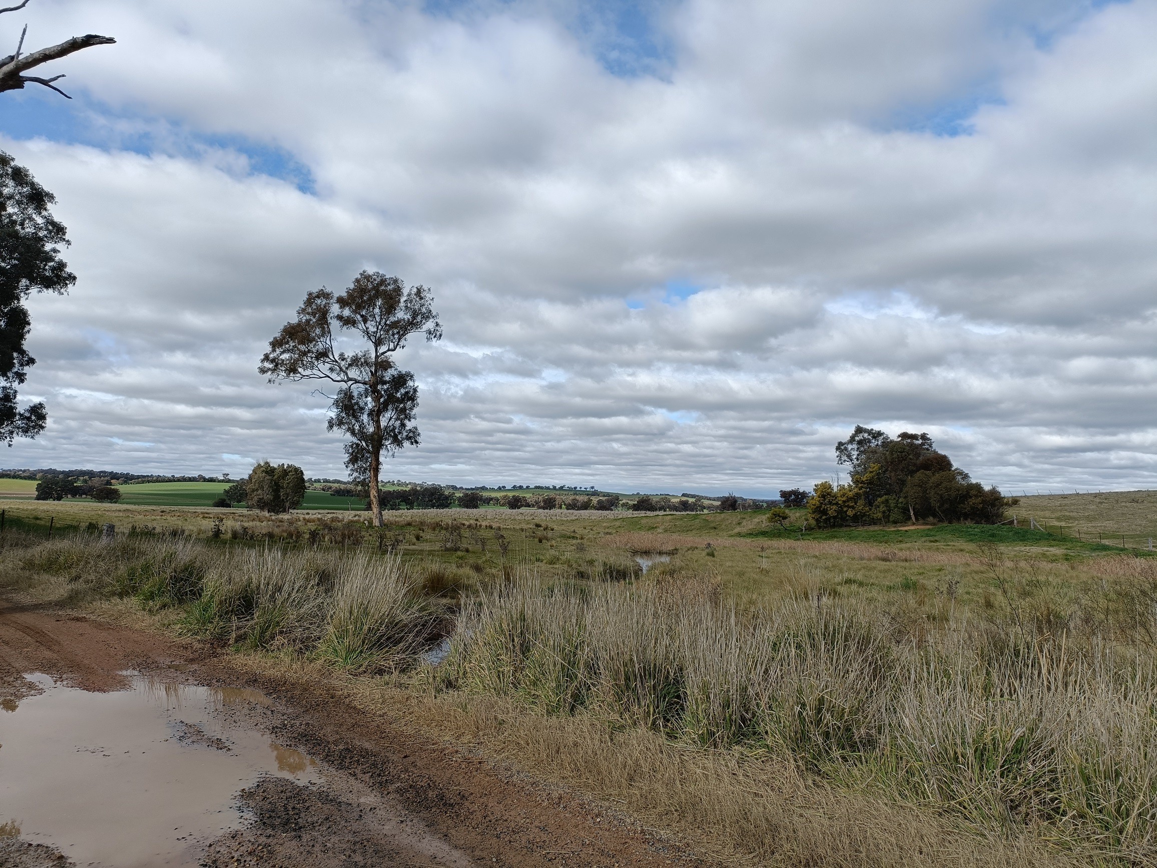
“I’ve learnt a few ways to identify a possible salinity problem so far, as a boggy patch in a paddock that has been heavily cropped or an increase in erosion. Paddock trees might start to die and vegetation may have changed to reeds or bullrushes, or there could be no vegetation at all.” Claire Diprose, Local Landcare Coordinator said.
“The monitoring of the catchments is a way for us to set a baseline of where salt is making it into our creek systems, and we can work back from there to isolate any key problem areas.” Claire continues.
“We have monitored these areas in the past, but with less specialists in the salinity space, it made sense to upskill Landcare groups. They are locals and they are connected with landholders who could be experiencing issues and are looking for solutions.” Andrew adds.
“Having someone like Andrew Wooldridge, with over 25 years experience, available to advise is an incredible resource. We are also keen to work directly with landholders as part of this project. So, if anyone is interested in setting up a monitoring their property, please get in touch.” Claire adds.
If you want to know more about the project or are interested in setting up a site on your property, contact Claire Diprose at weddinlandcare1@outlook.com
